07034490616, 08163488687
Log in / Create an account
WOOCS 1.0.5
Facebook
Twitter
Instagram
Skype
Gidi Drone Nigeria LimitedGidi Drone Nigeria LimitedGidi Drone Nigeria LimitedGidi Drone Nigeria Limited
Product was added to your cart
  • Home
  • About
  • Applications
  • Drone Repair Service
  • Training
  • Blog
  • Shop
    • SHOP BY BRANDS
      • Aerobotics Drones
      • Airborne Drones
      • De Lair – Tech Drones
      • DJI
      • Ehang
      • Hubsan Drones
      • YUNEEC
      • Long Range Fixed Wing
    • SHOP BY CATEGORIES
      • Hobby Drones
      • Commercial Drones
      • Cameras
      • Multirotors Drones
      • Fixed Wing Long Range UAV
      • VTOL Fixed Wing Long Range
      • Part & Accessories
    • SHOP BY APPLICATION
      • Agricultural Drones
      • Aerial Photography Drones
      • Delivery Drones
      • Inspection Drones
      • Security / Surveillance Drones
      • Surveying & Mapping Drones
    • SHOP BY ENDURANCE (KM)
      • 2Km to 4Km
      • 5km – 25Km
      • 100 – 200Km
      • 400 – 500km
    • SHOP BY FLIGHT TIME (MINS)
      • 20 – 25 Mins
      • 30 – 40 Mins
      • 45 – 60 Mins
      • 90 – 150 Mins
      • 4 – 6 Hours
  • Contact

APPLICATIONS

Wildlife & Game Monitoring

WILDLIFE AND GAME MONITORING

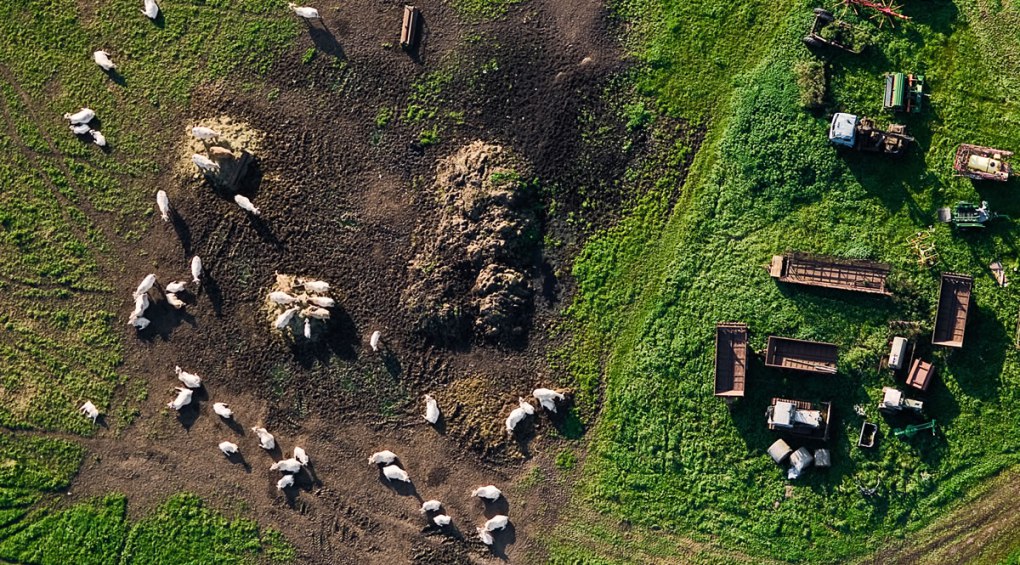
Livestock control refers to the monitoring of stock in terms of positioning and health. Stock control methods vary with the stock sizes, but should be capable of supplying information on the position of the stock and the conditions they are in LEARN MORE

Surveillance & Law Enforcement

SURVEILLANCE & LAW-ENFORCEMENT

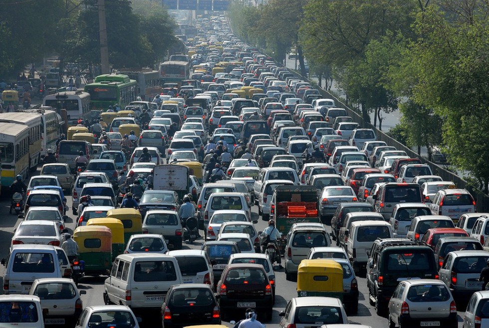
Law enforcement teams are often assigned missions where they must enter unknown and dangerous areas. Without any additional insight, they often face elevated risks of injury. With our UAV system, the teams in the field now LEARN MORE

Photography & Cinematography

CINEMATOGRAPHY

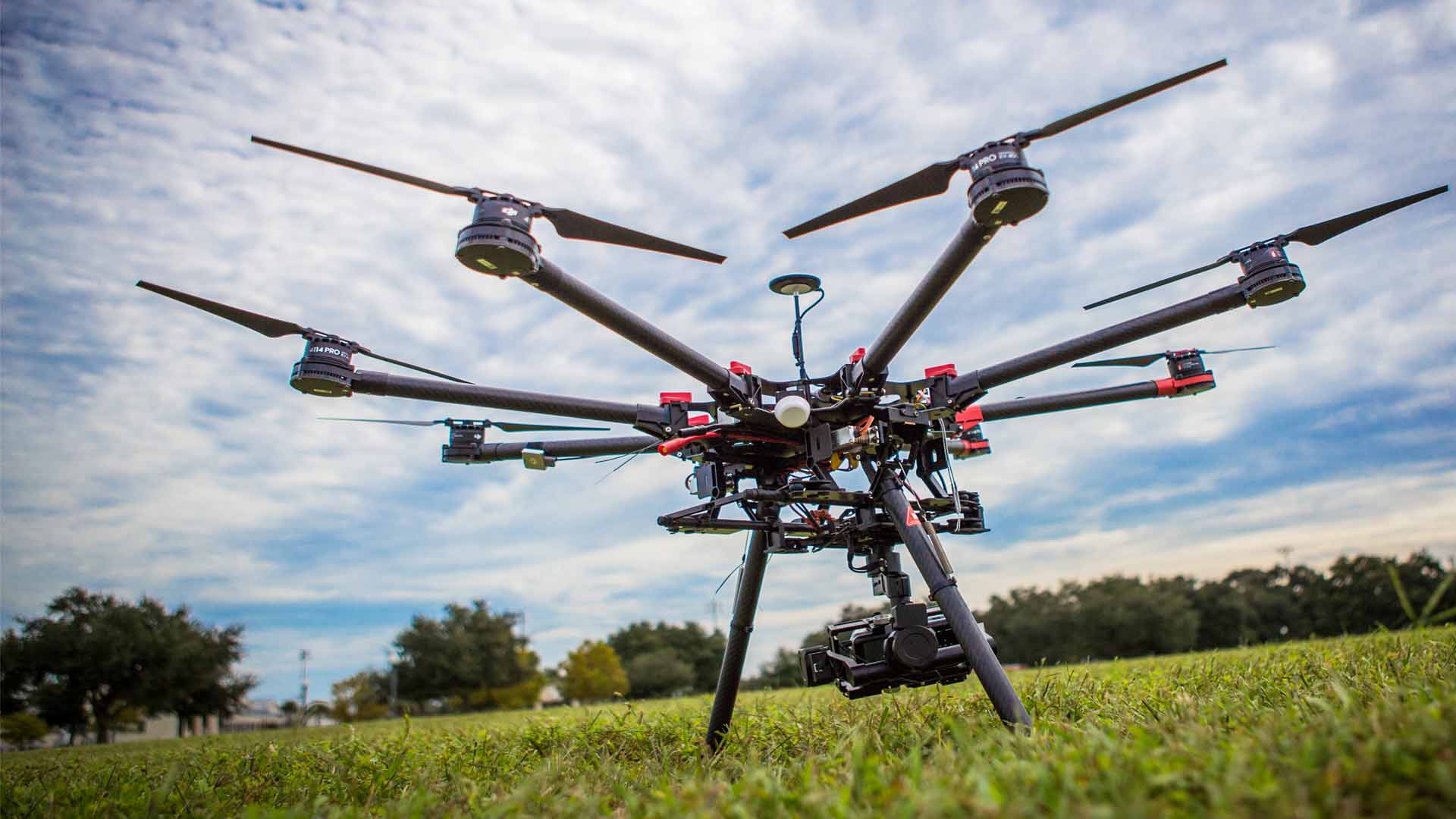
The Q500 Typhoon is a complete aerial photography and videography (APV) system. The Q500 System includes the aircraft, a 1080P HD camera, a CGO2-GB 3 axis precision gimbal, the ST10 personal ground station, 2 batteries, a charger LEARN MORE

Surveying & Mapping

SURVEYING & MAPPING

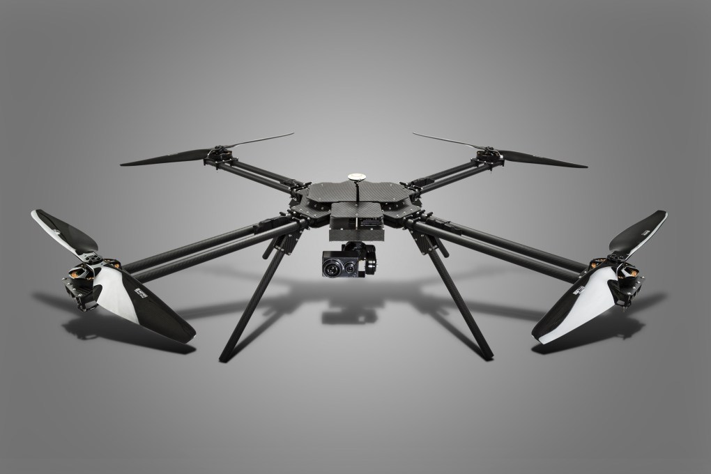
Geomorphology encompasses the study of landforms and the processes that shape them. The most common application of geomorphology is environmental assessment in terms of landslide prediction, coastal deformation, earthquake prediction or volcanic activity monitoring LEARN MORE

About

  • About Us
  • Partners
  • Gallery
  • My Account
  • Privacy Policy
  • Terms & Conditions
  • Blog
  • Contact Us

Customer Service

  • Drone Shop
  • Hire a Drone Pilot
  • Become a Drone Pilot
  • Drone Services
  • Drone Repair Service
  • Applications
  • Drone Buying Guides
  • Resellers and Distributors

Payment Methods

Contacts

07034490616, 09044644259

Let’s Connect

© Copyright 2019. All rights reserved. Gidi Drone Nigeria Limited. Terms & Conditions | Privacy Policy
Designed by HYFIG
Cookies help us provide, protect & improve our services. By using our site, you agree to our use of cookies. Got it!Read more